Many visitors still plan Valle de la Luna as if it were one scenic stop with one obvious loop. The official sources describe something more structured. The reserve and operator material break the site into controlled routes with different lengths, durations, risk notes, entry logic, and in one case a separate operating status. If you only remember the sunset photos, you miss the information that actually determines whether a route feels calm, rushed, exposed, or unavailable on the day you arrive.
That is why a trail guide is useful this week. As of Monday, August 24, 2026, the official Valle de la Luna homepage is displaying two active notices: a meteorological contingency message first posted on August 13, 2026 that recommends visiting in the morning, and a notice stating that the Mirador Ckary sector has been closed until further notice since May 27, 2026 while safety is evaluated after an earthquake. At the same time, CONAF still publishes the full trail table for Sector 6, and Chile Travel keeps route and capacity explanations live. Read together, those sources let you plan more honestly than a generic list of "best spots" ever will.
This article uses that official material to explain what each route asks of a visitor, why "easy" does not mean interchangeable, how group controls and weather reshape the day, and when a separate Ckari decision should simply become a no. The point is not to make the valley look difficult for the sake of drama. The point is to replace lazy assumptions with a route choice that matches the real operating conditions.
Continue with: Valle de la Luna access and ticket guide, Atacama safety and packing advice, seasonal wind planning guide, bike, car or guided transport comparison.
Start with the official trail table, not with a postcard memory
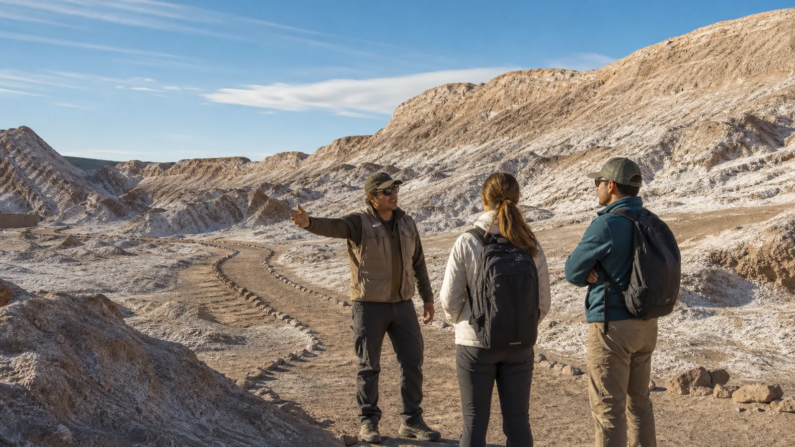
CONAF's current Reserva Nacional Los Flamencos page is the best place to reset expectations. It publishes a Sector 6 Valle de la Luna table with named routes, lengths, total durations, walking difficulty, winter difficulty, and risk notes. That table matters because it shows that the site is not one uniform circuit. Duna Mayor is listed at 919 meters with a total duration of 45 to 60 minutes. Cornisa is 718 meters with the same total duration. Mina Victoria is 892 meters and also 45 to 60 minutes, but with a completely different risk note focused on a high drop around the mining shaft. Achache stretches to 3 kilometers and 3 hours. Tres Marias is only 80 meters with a 30 minute total. Mirador Ckary is 350 meters with a 40 minute total.
Those numbers do not tell you everything, but they immediately improve the planning conversation. A route that is short on paper may still operate inside stricter timing or higher exposure. A route that stays labeled easy may still become winter-moderate and may still close in sandstorms or rain. A three hour sector like Achache should never be treated as a small add-on tacked onto an already full afternoon. The official table is useful precisely because it prevents the common mistake of turning every stop into "just another quick viewpoint."
The operator website and Chile Travel add the context that makes the table more practical. Entry is structured, visitors are grouped, and the site expects people to follow instructions from guides or rangers rather than freelancing across open-looking terrain. So before you rank stops by Instagram appeal, rank them by the official facts: how long they take, what hazards are named, whether they are exposed to strong wind or rockfall, and whether the sector is even functioning normally this week.
What the official table changes in practice
A route guide is valuable because it replaces vague ambition with measurable effort. You can look at durations, compare them to your group, and remove sectors that do not fit before you even leave San Pedro.
- Duna Mayor, Cornisa, and Mina Victoria are not identical even when the time range looks similar.
- Achache is the long commitment inside the table and should be treated that way.
- Ckary has its own trail data, but current notices still override any normal-time reading.
What each Valle de la Luna route actually asks of you
Start with the short and medium sectors that many first-time visitors confuse with one another. Duna Mayor is officially one of the easiest routes to describe but not one to rush badly. Chile Travel says the viewpoint works in a single direction and allows up to two groups at the same time for a maximum of 10 minutes each, with 40 minutes total for the route including the stop. In other words, the famous landscape is still run through a time logic. If your day begins late or your group moves slowly, this route may stay beautiful while becoming less forgiving than the word easy suggests.
Cornisa and Mina Victoria require a different kind of attention. CONAF gives both a 45 to 60 minute total, easy walking difficulty, and winter-moderate difficulty, but the risk note is not the same. Cornisa is tied to rockfall and strong winds carrying particulate material. Mina Victoria highlights the danger of a high fall at the mining shaft. That means one reader should think about eye exposure, dust, and gust comfort, while another should think about group discipline near edges and whether children or distracted photographers are likely to turn a manageable stop into a stressful one.
Then there is Tres Marias and Achache, which often get misread in opposite directions. Tres Marias is only 80 meters and a 30 minute total according to CONAF, but Chile Travel still says the trail is controlled and allows a maximum of 24 visitors with only 15 minutes for the hike itself. That is not a place to improvise a long creative detour. Achache, by contrast, is the route people underestimate when stacking too many plans into one desert afternoon. CONAF gives it 3 kilometers and 3 hours. Even with easy walking difficulty, that is a serious time and exposure decision, especially when weather is unstable or your group has mixed energy.
Use route type, not only route length
If the table says a route is short, ask what controls apply. If it says a route is long, ask what you are giving up elsewhere in the day. Both questions matter more than chasing one iconic stop.
- Duna Mayor is structured around one-way movement and brief viewpoint turnover.
- Cornisa and Ckary share wind and rockfall exposure in the official risk notes.
- Mina Victoria adds edge awareness that should matter to families and distracted photographers.
- Tres Marias is short but tightly managed.
- Achache is the route that turns a casual half-day into a real endurance choice.
Route framework
How to choose a Valle de la Luna trail fast
Use the official route table and the active homepage notices in this order.
Check status
Read the current operator notice first, especially for Ckari and weather contingencies.
Match hazards
Use the CONAF risk note to filter out dust, height, wind, or long-duration routes.
Match the group
Choose the route that fits energy, timing, and pacing rather than the route that looks most famous.
Simplify
If conditions are unstable, reduce the plan to one primary route and one clear exit.
Why Ckari has to be treated as a separate decision right now
Ckari already sits apart from the main entry rhythm even in normal conditions. The official Valle de la Luna site publishes separate Ckari sector entrance hours rather than treating it as a simple continuation of the general valley entry window. Chile Travel also presents Ckari as the last route in the valley and says capacity is informed to each group by the park ranger, with a maximum stay of 60 minutes per group. That is enough on its own to treat the viewpoint as a second planning decision rather than an automatic add-on at the end of the route.
What changes this week is the active notice layer. On Monday, August 24, 2026, the same official homepage is carrying a notice that says the Mirador Ckary sector has been closed until further notice since May 27, 2026 because safety is being evaluated after an earthquake. It also carries a separate meteorological contingency notice first posted on August 13, 2026 recommending that visits take place in the morning. That combination is exactly why you should not rely on static schedule screenshots. A page may still show nominal sector hours while a more recent notice effectively overrides them.
The practical consequence is simple and conservative. If the homepage says Ckary is closed until further notice, you should plan as if it is unavailable unless an official update published after August 24, 2026 clearly says otherwise. Do not build your transport timing, sunset expectations, or family morale around a sector that may remain closed when you arrive. A good Valle de la Luna day is not the one that insists on forcing every viewpoint. It is the one that works well with the sectors that are truly open.
How to handle a split-status page
When a page shows both a standing timetable and a newer contingency notice, the newer notice is the safer planning layer. That is the only reading that respects current operating risk.
- Treat Ckari as unavailable while the closure notice remains active.
- Do not use old blog posts or cached screenshots to override a current homepage notice.
- If Ckari matters to your plan, re-check the official site and ask before leaving San Pedro.
Weather and risk notes change the meaning of easy
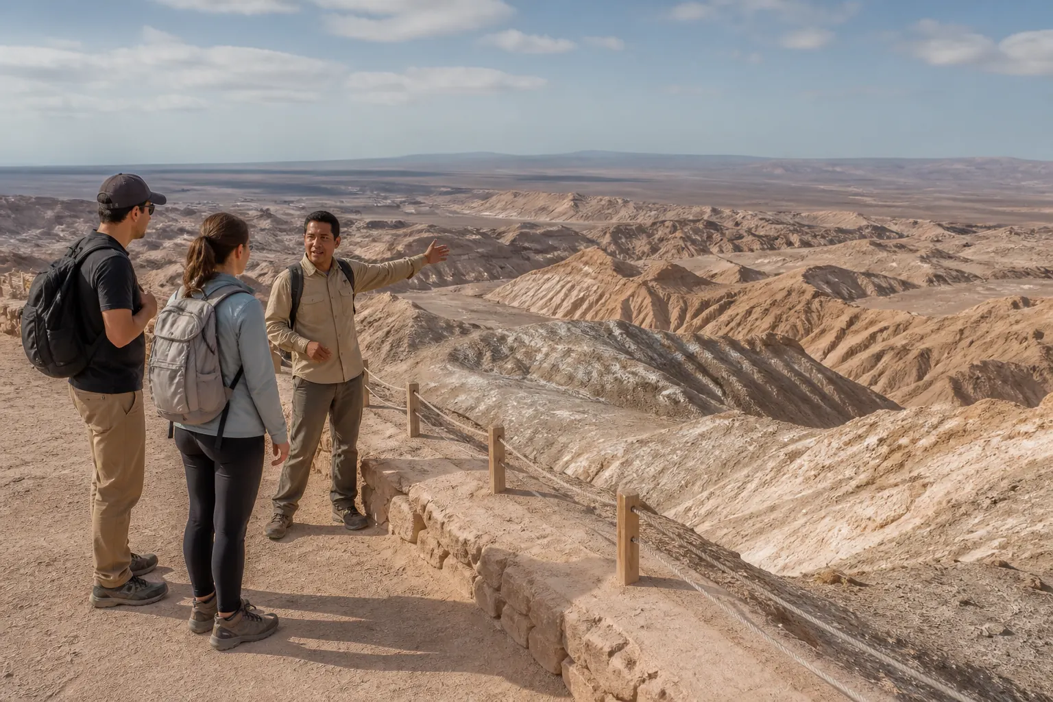
CONAF labels the main Valle de la Luna trails as easy for walking difficulty, but it also marks winter difficulty as moderate for Duna Mayor, Cornisa, Mina Victoria, Achache, Tres Marias, the interior vehicle road, and Mirador Ckary. The reserve page repeatedly says these sectors may close in some circumstances because of winter sandstorms or summer rain. This is one of the most useful corrections to shallow travel advice. Easy is not a promise that the route will always feel calm. It is a category inside a managed environment where weather can quickly change the exposure profile.
The named hazards tell you where that change shows up. Cornisa and Ckary both mention rockfall and strong winds carrying particulate material. Mina Victoria adds the risk of a high fall. Duna Mayor and Tres Marias focus more on tripping or same-level falls, which sounds mild until you remember how dry air, unstable footing, distraction, and time pressure affect real visitors. The official site's current meteorological notice reinforces the point by recommending morning visits while the commune is under weather-related contingency. That is not decorative language. It is a planning hint from the operator that the afternoon experience may not be the best frame this week.
This is also where the seasonal wind article already on the site becomes a useful companion rather than a competitor. That article explains why wind changes pacing and transport logic. The route table explains which named sectors are especially exposed. Put them together and you get a better habit: if wind is active, move away from the most exposed ridges and away from any plan that depends on a long exposed afternoon sequence. It is better to keep one short, readable route than to push through two mediocre ones.
Turn risk notes into route filters
A risk note is not just a warning label. It is a selection tool. If your group hates dust, heights, or fast-changing weather, some routes become less sensible even before the car starts.
- Filter Cornisa and Ckari first when wind and airborne dust are a concern.
- Filter Mina Victoria first when attention near edges is unreliable.
- Filter Achache first when time, hydration, or altitude tolerance is uncertain.
Build the half-day around your group, not around an abstract best route
Chile Travel's attraction page gives the logistics that help turn the trail table into a real plan. Valle de la Luna sits about 15 kilometers from San Pedro de Atacama on Route 23, or around 13 kilometers depending on how the approach is phrased, which translates to roughly 15 minutes by car or about 40 minutes by bicycle. That short distance can trick visitors into thinking the route inside the reserve is also casual. It is not. The travel time only gets you to the gate. Inside, controlled entrances, sector limits, route durations, and weather can still make the day feel compressed if you arrive without a clear order of priorities.
For families, older travelers, mixed-energy groups, or people who simply want the landscape without unnecessary stress, the best route is usually the one with the fewest decision reversals. Pick one primary sector, one secondary sector only if conditions remain calm, and one clear exit time. A group that wants a low-conflict afternoon should not combine a long Achache commitment with a last-minute attempt to chase a sunset image somewhere else. A group with strong legs but weak patience should not assume Tres Marias stays flexible just because it is short. Controlled time can create more pressure than long distance if the day is already running late.
This is also where the 2024 CONAF accessibility project helps frame expectations responsibly. Inclusive visits in the reserve included local training, a handbike, tactile maps, and audiodescriptive materials, but none of that means every sector stops having terrain or timing limits. The useful lesson is subtler. Do not confuse accessibility work with a promise that all routes suit all bodies. Instead, let the official route information help you choose a sector that matches your group honestly. That is more respectful than pretending every visitor should want the same route.
Three planning models that usually work
Simple models outperform heroic improvisation in the desert. Choose one and commit to it before you arrive.
- Short controlled visit: one main sector plus a calm exit, best for mixed-energy groups.
- Interpretive visit: fewer sectors, more attention to geology, rules, and guide input.
- Long-route day: one major commitment such as Achache, with little else added afterward.
What to verify on the same day before leaving San Pedro
The official sources point toward one final discipline: verify the current operating layer on the same day. Start with the Valle de la Luna homepage because that is where active notices, current entry windows, and sector-specific changes are most visible right now. Then confirm the broader reserve logic on the CONAF page, especially if you are comparing routes by duration, winter difficulty, or risk note. If you are using Chile Travel for route ideas, use it as orientation, not as the last word when a fresher operator notice exists.
A practical same-day check has only a few lines. Is the sector you want explicitly open? Is Ckari still closed? Are current conditions pushing visitors toward the morning? Are you entering by bike or motorized vehicle, and does the seasonal window still match your plan? Does your chosen route still make sense for your group after considering wind, dust, heights, and timing? If any answer becomes fuzzy, simplify rather than escalate. Valle de la Luna is a place where restraint usually produces the better memory.
That final simplification is worth emphasizing because it protects both the place and the visit. A controlled half-day with one well-chosen route is not a lesser experience. In many conditions, it is the smartest one. The valley remains powerful even when the plan gets smaller. What matters is that the smaller plan is real, official, and safe.
Day-of checklist
Keep the checklist short enough to use while you still have phone signal and enough time to change course.
- Check the official Valle de la Luna homepage for fresh notices and sector status.
- Confirm the general entry window and whether foot entry remains prohibited.
- Re-read the risk note for the route you want most.
- Drop any sector that no longer matches the weather or your group.
- Leave margin for return instead of stretching the last route.
Use the route that is real today
Valle de la Luna becomes easier to plan once you stop treating it as one generic stop and start reading it as a set of controlled routes with different risks and different commitments. The official trail table, group limits, and active notices are not bureaucracy around the landscape. They are the practical language of the visit.
As of Monday, August 24, 2026, that language clearly says to plan conservatively, to respect current weather and seismic notices, and not to build a day around Ckari while the closure message remains active. If you choose your route with those facts in mind, the visit usually feels calmer, safer, and more honest.
Frequently asked questions
Which Valle de la Luna trail is the longest in the official table?
Achache is the longest named Sector 6 route on the current CONAF table at 3 kilometers and about 3 hours total. That makes it a route to choose deliberately, not a quick add-on after several shorter stops.
Is Tres Marias the easiest route because it is short?
It is short, but not automatically flexible. CONAF lists 80 meters and 30 minutes total, while Chile Travel says the hike itself is limited to about 15 minutes and the sector has a visitor cap. Short distance does not remove timing control.
Can I still plan Ckari for sunset this week?
Not safely as a default assumption. On Monday, August 24, 2026, the official Valle de la Luna homepage says the Mirador Ckary sector has been closed until further notice since May 27, 2026 because of post-earthquake safety evaluation. Re-check the official page before assuming anything has changed.
Do the official sources still say people cannot enter on foot?
Yes. The current operator site and the CONAF reserve guidance both state that the main Valle de la Luna site cannot be entered on foot and requires a vehicle such as a bicycle, motorcycle, car, or similar transport.
What is the best route for a mixed-energy group?
There is no universal best route. A mixed-energy group usually benefits from one primary sector, a simple exit plan, and no dependence on an unstable or closed sector. The right choice depends on current notices, wind, dust, timing, and whether heights or long exposure will create stress.
Sources and editorial caution
- Valle de la Luna official site, visitor agreements, hours and current notices — Valle de la Luna
- Reserva Nacional Los Flamencos visitor information and Sector 6 trail table — CONAF
- Valle de la Luna (Moon Valley) — Chile Travel
- Everything you need to know about visiting Valle de la Luna (Moon Valley) — Chile Travel
- Inician visitas inclusivas en la Reserva Nacional Los Flamencos — CONAF