Wind is not a background detail at Valle de la Luna. It changes how long you want to stay at an overlook, whether a bicycle plan still feels sensible, how exposed a marked trail becomes, and whether sunset remains rewarding or simply tiring. In a landscape built by erosion, salt, and open desert exposure, the same route can feel calm one day and abrasive the next even when the map looks identical.
That matters more in 2026 because the official Valle de la Luna site is not only a ticket channel; it is also the place where operational notices appear. During this research on July 27, 2026, the official site was carrying a notice saying the Ckary viewpoint had been closed since May 27, 2026 after a safety evaluation following an earthquake. CONAF, meanwhile, still describes multiple Sector 6 trails as routes that can close in winter sandstorms or summer rain. The lesson is straightforward: you cannot plan only from photos, averages, or an old blog post. You need a wind-aware sequence that starts with live notice checking and ends with a realistic backup plan.
Continue with: official visit planning guide, Atacama safety and packing checklist, bike, car or tour comparison, sunset timing guide.
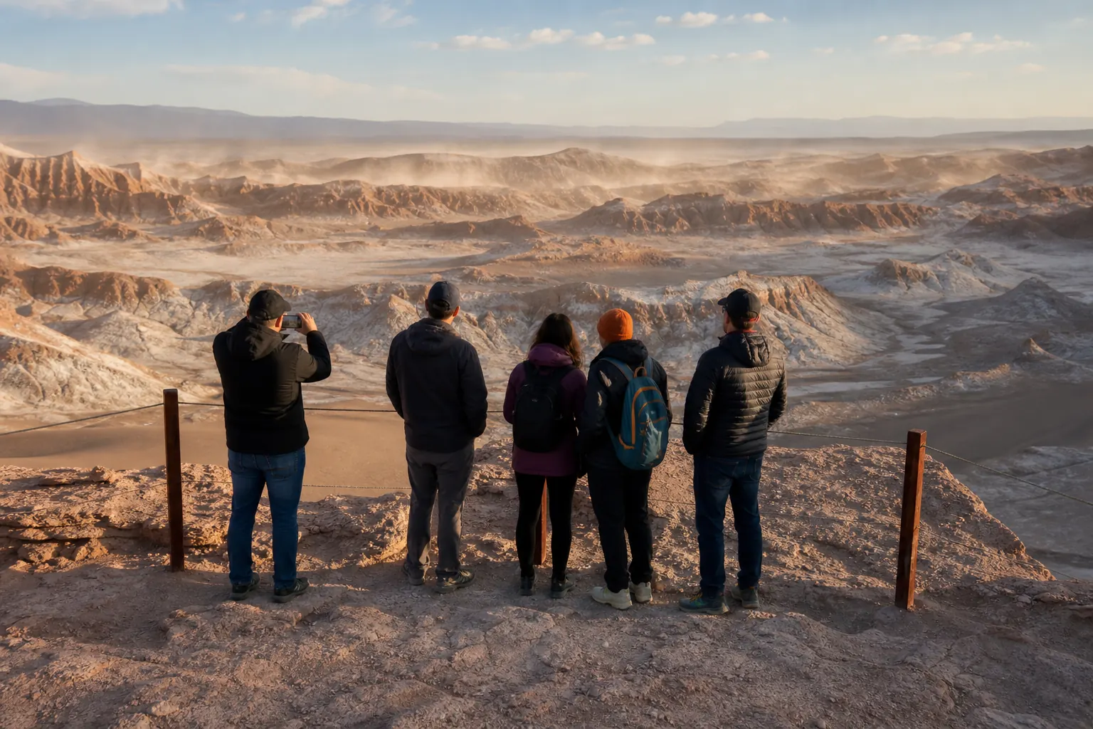
Read the current notice before you think about sunset
The first wind decision is not whether you bring a jacket. It is whether your intended sector is even operating as you imagine. The official Valle de la Luna page currently lists two different seasonal access systems: from September to March, bicycles enter from 09:00 to 11:00 and motorized visitors from 09:00 to 17:00, while from April to August bicycles enter from 08:00 to 11:00 and motorized visitors from 08:00 to 16:00. Those windows already tell you that the reserve is managed differently once winter conditions dominate the day. The same official page also shows that Ckari ordinarily has a later entry window, but on July 27, 2026 that normal timetable was overridden by a notice stating the viewpoint had been closed since May 27, 2026 because of a post-earthquake safety evaluation.
That single example is more useful than any generic weather advice. It shows that a valley visit is shaped by live operational status first, then by your ideal light, route, and transport second. If you build the day around one exposed viewpoint without reading the notice, you create a fragile itinerary. If you start from the notice instead, you can downgrade early, keep transport flexible, and protect the rest of the day in San Pedro de Atacama.
Chile Travel reinforces the practical side of this approach by reminding visitors to check the last entry time and to carry water and sun protection even for a relatively short approach. In other words, operational timing and body management belong in the same decision. A windy day is rarely ruined because the desert was difficult; it is usually weakened because the plan assumed a stable, photo-first version of the valley that the official notice never promised.
Use the notice as the first filter, not the last
A good Valle de la Luna plan begins with one question: what is confirmed open, and under which seasonal schedule, today? Once that is answered, the rest of the route becomes simpler.
- Check the official site before breakfast, not from the car park.
- Match your season to the active bicycle and motorized entry window.
- Treat any special notice as stronger than the regular timetable.
Trail exposure changes more than difficulty labels suggest
CONAF's Reserva Nacional Los Flamencos page is unusually helpful because it does not reduce Sector 6 to pretty imagery. It names specific trails, their approximate lengths, their normal walking difficulty, and the risks that matter once wind enters the picture. Duna Mayor is described as easy, but winter difficulty rises to moderate and the trail can close during winter sandstorms or summer rain. Cornisa is also listed as easy under normal conditions, yet CONAF explicitly mentions rockfall risk and strong winds with particulate material. Mina Victoria, Achache, Tres Marias, the interior road, and the Ckary trail are all described as sectors that may also close in those same seasonal scenarios.
That means wind does not simply make the valley less comfortable; it changes which parts of the route deserve your best energy and which parts deserve restraint. A traveler who reads only a general 'easy' label may assume every marked stop remains equally sensible in dusty conditions. The official risk notes say otherwise. Easy can still be exposed, and short can still become draining when your eyes, mouth, camera gear, and pacing all need more attention.
The most useful editorial conclusion here is that route exposure matters more than trail bravado. When CONAF says Cornisa can involve strong winds carrying particulate material, that should shape how you time the day, where you pause, and how long children or older travelers stay out in the open. When the same authority says several trails can close in winter sandstorms, that should end the fantasy that every plan can be rescued by pushing harder. Wind-aware travel is not about endurance. It is about choosing the sector whose risk profile still fits the day.
How to read CONAF's trail notes
The reserve guidance is not just for emergencies. It is a planning tool. The winter difficulty flag, closure triggers, and exposure notes help you separate scenic ambition from reasonable effort.
- Use Duna Mayor and Cornisa notes to judge exposure, not only photo appeal.
- Assume that a short trail can still become a poor stop when wind-driven dust is active.
- If a sector is described as closable in sandstorms, keep a different primary stop in mind before you depart.
- Duna Mayor: about 919 meters, usually easy, winter difficulty moderate, sometimes closed in winter sandstorms or summer rain.
- Cornisa: about 718 meters, usually easy, but CONAF flags rockfall and strong winds with particulate material.
- Ckary, Mina Victoria, Achache, Tres Marias and the interior road can also be affected by the same closure logic.
Wind-day framework
How to decide whether the valley still fits the day
Use the live notice first, then shrink the plan until route exposure matches the season and the group.
Check
Read the official Valle de la Luna notice and confirm which seasonal access window is active.
Match
Compare your intended sector with CONAF's trail risks, closure triggers, and winter difficulty notes.
Downgrade
If exposure is rising, switch to the least exposed meaningful stop and the simplest transport.
Protect
Keep one backup activity or re-check window so the day still works if the first plan falls apart.
Transport choice becomes a wind decision as much as a comfort decision
Official access rules already narrow your options. The Valle de la Luna site says people on foot cannot enter, and CONAF repeats that entry requires a vehicle such as a bicycle, car, motorcycle, or similar transport. That matters on calm days, but it matters even more when dust and exposure rise. A traveler who imagines the bicycle as the most romantic choice may still be right in stable conditions. Yet the seasonal windows show that cyclists are handled separately and within a tighter entry band than motorized visitors, especially in winter when bicycle entry begins at 08:00 and ends at 11:00.
This is where editorial judgment has to be explicit: the official sources tell you the hours and the access rules; from those facts it is reasonable to infer that windier or more exposed days usually reward a lower-friction transport setup. If your plan depends on keeping goggles clean, stopping repeatedly for photos, or preserving energy for a single overlook, forcing a bicycle day just because the road is short can work against the experience. By contrast, a car or registered tour gives you more freedom to step back when the air becomes rough without violating the reserve's access structure.
Chile Travel describes the valley as roughly 13 to 15 kilometers west of San Pedro de Atacama, depending on how the route is summarized, and notes that it is about fifteen minutes by car or roughly forty minutes by bicycle. That distance is short enough to tempt improvisation. Do not let that tempt you into rigidity. A short drive can still be the most responsible choice if it preserves hydration, keeps children or older travelers out of a long dusty approach, and leaves you enough margin to downgrade the route if the first stop feels harsher than expected.
A simple rule for cyclists
If the day already feels exposed before you leave San Pedro, use the bike plan only if the official notice, your own confidence, and the seasonally active entry window all line up. If one of those elements breaks, downgrade early.
- Do not confuse a short distance with a low-stress approach.
- Keep the bike option for days that are stable, not merely technically open.
- Let the reserve's entry windows shape your departure time, not the other way around.
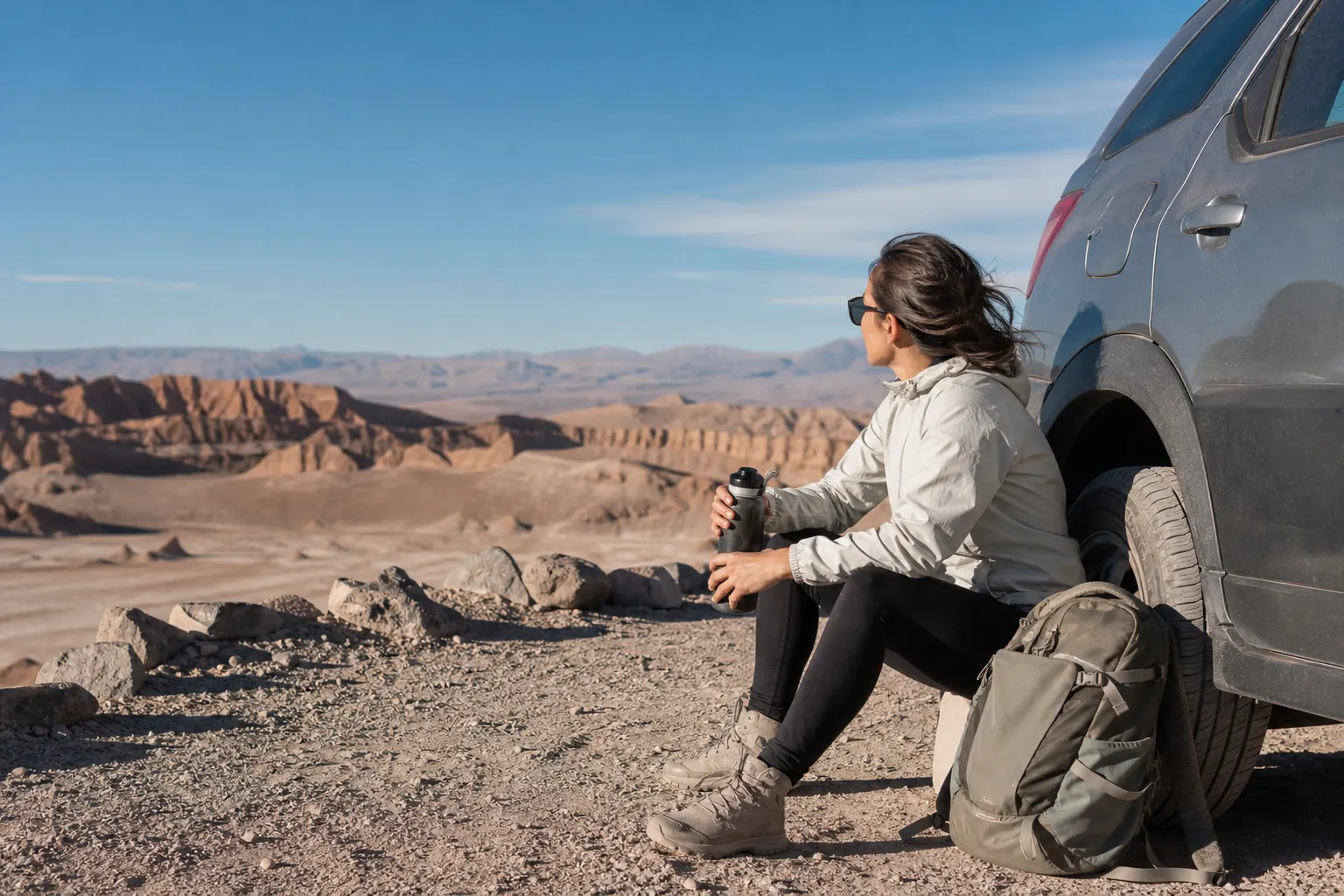
Wind changes what good photography and family pacing look like
Many travelers think wind only affects camera shake or hair in photos. In reality, it changes the rhythm of the entire stop. Dust reduces patience, makes children ask for breaks sooner, shortens the time you want to stand still, and can turn a planned linger at an overlook into a quick scan plus retreat. That is why Chile Travel's otherwise basic advice about water, sun protection, and checking last entry times deserves more respect than it usually gets. In the Atacama, practical comfort is what protects your ability to read the landscape calmly.
The same logic applies to photo expectations. A wind-shaped day is often better for a short sequence than for an elaborate sunset production. One strong frame, one detail of salt and shadow, and one final check that nobody in your group is tiring out too quickly usually beat a long exposed wait for a perfect gradient that may never arrive. If the official notice says a sector is closed, or CONAF identifies it as especially exposed, adapt the story you want from the visit rather than trying to force the valley to match a saved image.
This matters even more because Chile Travel's visitor guidance describes Valle de la Luna as a controlled-entry site with marked trails and sector rules. The valley rewards disciplined looking, not wandering. On windy days, disciplined looking becomes a safety and quality tool at the same time. You spend less energy correcting small mistakes, you protect the experience of the slowest member of the group, and you leave the reserve with clearer observations instead of a collection of rushed, gritty stops.
What a wind-aware stop looks like
Think shorter, cleaner, and more deliberate. Wind does not always cancel the view, but it often punishes overlong stops.
- Prioritize one main overlook and one backup stop instead of a full circuit of exposed pauses.
- Carry sunglasses, water, and one light wind layer where they can be reached immediately.
- If a child or older traveler starts fading, end the stop while the visit still feels orderly.
A backup plan is part of the visit, not a sign of defeat
Responsible Valle de la Luna planning always includes a downgrade path. CONAF currently says visitors should buy their Valle de la Luna ticket at least one day in advance, and the official site's cancellation page explains that force-majeure closures tied to climate or other access-blocking events may lead to reprogramming or a full refund. Those policies are not small-print distractions. They are proof that the management system expects conditions to change and gives travelers a framework for responding without improvising in the parking area.
A strong backup plan is simple. First, protect the morning or afternoon around the valley instead of stacking another rigid excursion immediately before or after it. Second, decide in advance which outcome counts as success if wind strips the route down to one main stop. Third, keep a same-town alternative ready so that a closure or a too-exposed first stop does not turn into a rushed argument about what to do next. San Pedro de Atacama is close enough that stepping back for a calmer town interval, then re-checking notices later, can be wiser than forcing a marginal route.
The goal is not to avoid uncertainty. It is to make uncertainty cheap. When a protected desert area openly tells you that hours, sectors, and closures can move with conditions, the smartest traveler acts accordingly. Read the notice, pick the least exposed version of the experience that still feels meaningful, and keep enough humility to call the day early if the valley is asking for a shorter visit.
Four backup questions worth answering in advance
If you answer these before departure, seasonal wind becomes a planning variable rather than a trip spoiler.
- Which sector matters most if only one major stop remains sensible?
- Will a car or registered tour protect the group better than a bike on this specific day?
- Can the schedule absorb a re-check or a same-day downgrade without sacrificing the rest of the trip?
- Do you know where to verify refund or rebooking instructions if a force-majeure closure appears?
Plan the wind, not just the postcard
Valle de la Luna remains one of the most striking short excursions from San Pedro de Atacama, but it is not a fixed product. Seasonal wind changes entry timing, trail comfort, sector exposure, and the quality of a sunset stop more than most first-time visitors expect. Official guidance already tells you this if you read it closely: different seasonal hours, closure notes, exposure warnings, and day-of operational messages all point in the same direction.
The most reliable version of the trip is therefore the one built with margin. Verify the live notice, choose the sector that still fits the conditions, downgrade transport or stop count when needed, and keep a fallback plan that respects the reserve instead of fighting it. That is how a wind-shaped day becomes a well-read Atacama day rather than a disappointing one.
Frequently asked questions
Does wind always mean Valle de la Luna will close?
No. Wind does not automatically mean full closure, but official notices and sector-specific restrictions can change quickly. CONAF states that several Sector 6 trails may close during winter sandstorms or summer rain, so the correct habit is to verify the live notice and the reserve guidance on the day of travel.
Is winter automatically the worst season for visiting?
Not automatically. The official site shows earlier winter entry windows, which can suit travelers who prefer an earlier start. However, CONAF also marks multiple trails as winter-moderate or occasionally closed during sandstorms, so winter requires closer day-of checking than a generic season label suggests.
Should cyclists keep their plan if the air already feels dusty in San Pedro?
Only if the official notice is clear, the active bicycle window still fits your departure, and the group is comfortable with exposure. Because people on foot cannot enter and cyclists have tighter access windows than motorized visitors, a windy day often rewards downgrading to a car or registered tour.
Can I count on Ckari for sunset this week?
Not without checking the official site again. During research on July 27, 2026, the official Valle de la Luna page displayed a notice saying Ckary had been closed since May 27, 2026 following a safety evaluation after an earthquake. That could change later, which is exactly why a same-day verification matters.
What should I carry for a wind-aware visit?
Keep it practical: water, sunglasses, closed shoes, sun protection, and one light wind layer you can reach immediately. Add enough schedule margin to shorten a stop without stress, and verify the official rules before departure because access windows and open sectors may change.
Sources and editorial caution
- Valle de la Luna official site access hours and visitor agreements — Valle de la Luna
- Valle de la Luna cancellation and force-majeure closure policy — Valle de la Luna
- Reserva Nacional Los Flamencos visitor information and trail risks — CONAF
- Valle de la Luna (Moon Valley) attraction page — Chile Travel
- Everything you need to know about visiting Valle de la Luna (Moon Valley) — Chile Travel